The United Nations has endorsed a new world map projection that gives Africa its true scale, a symbolic but politically charged move that could reshape how governments, schools and technology companies present the continent to the world.
UN backs Equal Earth map for Africa
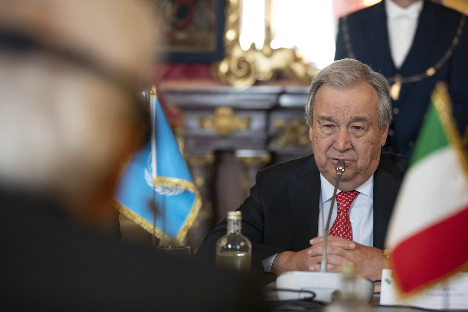
The General Assembly voted 164-1 to encourage use of the Equal Earth projection and reduce reliance on the Mercator map, which has distorted land sizes for centuries by making areas near the poles appear much larger than they are. Africa, the world's second-largest continent by land area, looks roughly the same size as Greenland on many classroom and digital maps even though it is about 14 times larger.
Sentiment IndicatorsⓘProprietary · adalytica.com · September 5, 2026
This is a snapshot — live sentiment, awareness and momentum for 130+ markets update continuously in the dashboard.Open AlphaPulse
That matters economically because maps are not just visual aids. They influence how students, policymakers and investors perceive geography, population, trade routes and market scale. For Africa, the issue goes beyond cartography: a smaller visual footprint has long reinforced the sense of a region that is peripheral rather than central to global growth, even as its demographics, resources and consumer markets increasingly matter to the rest of the world.
Togo, which led the initiative with support from the African Union, said the decision is aimed at changing that perception and at decolonizing how the continent is represented. The resolution is nonbinding and does not challenge the use of Mercator for navigation, where its distortions are useful because straight lines preserve direction. But it does create political cover for institutions to switch teaching materials, reference maps and public-facing digital products.
For investors, the immediate market impact is limited, but the narrative is not. Africa remains a focal point for foreign direct investment, commodity supply chains, infrastructure finance and digital expansion, and how the continent is framed can shape long-term capital flows. A more accurate map may not move prices on its own, but it reinforces a broader shift in how global institutions and corporations view Africa: not as a marginal add-on, but as a large economic space with strategic weight.
The strongest near-term catalyst is adoption in education and technology. Togo said it hopes to update geography textbooks by year-end and will press governments, schools, international organizations and mapping platforms to use the new projection. That would be a gradual process, but if major platforms follow, the visual default that has shaped generations of users could start to change.
The United States was the only country to vote against the measure, calling it ideological. That split underscores the fact that the debate is as much about narrative power as geography. For African governments, winning the cartographic argument is part of a wider effort to assert agency in global institutions. For markets, the practical takeaway is that the continent’s perceived scale, and perhaps its investability, is being argued back into view.
| Entity | Gains | Losses |
|---|---|---|
| African Union / African states | ▲Greater global visibility | ▼Legacy Mercator framing |
| Schools and textbook makers | ▲More accurate geography teaching | ▼Existing map materials |
| Mapping tech platforms | ▲Updated public trust | ▼Cost of retooling products |
| United States | ▲None | ▼Diplomatic isolation on vote |