India’s latest Earth-observation satellite is more than a routine launch: by parking EOS-05 in geostationary orbit, ISRO has given New Delhi a persistent view of a strategically sensitive swath of territory stretching across Pakistan, China and the wider Himalayan region.
India EOS-05 launch expands geostationary monitoring

That matters because the economics of security and disaster response increasingly hinge on speed. A satellite that can stay fixed over one region, rather than sweep past it in periodic passes, can provide near-continuous monitoring of floods, cyclones, forest fires, crop conditions and border activity. For India, that means faster warnings, better targeting of relief and a stronger intelligence picture at a time when weather volatility, food security and frontier tensions all carry economic costs.
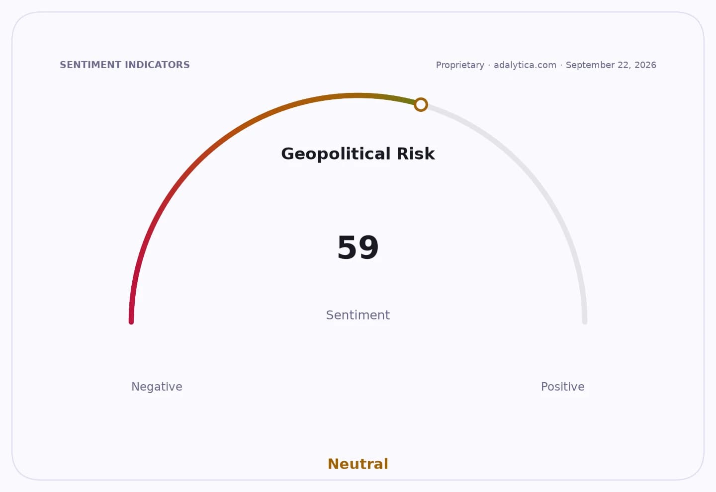
Sentiment IndicatorsⓘProprietary · adalytica.com · September 5, 2026
This is a snapshot — live sentiment, awareness and momentum for 130+ markets update continuously in the dashboard.Open AlphaPulse
The mission also underscores how far India’s space program has moved from symbolic launches toward operational capability. ISRO said the GSLV-F17 placed EOS-05 into the intended orbit, a precision that matters because geostationary satellites must sit at roughly 35,786 kilometers to match Earth’s rotation. At that altitude, the satellite can scan the full Indian region in about 10 to 15 minutes, even if its imagery resolution is limited to larger objects and broad terrain changes.
The real edge is the hyperspectral camera, which can distinguish materials rather than just shapes. In practical terms, that improves the ability to identify stressed crops, wet or dry soil, polluted water, smoke, clouds and even concealed metal objects under camouflage. In a region where both China and Pakistan invest heavily in military concealment and surveillance, that kind of imaging is a strategic multiplier, even if it does not replace lower-orbit satellites that provide finer detail.
For investors, the broader implication is that India’s space infrastructure is becoming dual-use national capability, supporting both civil resilience and defense readiness. That strengthens the policy case for continued public spending and creates a long runway for suppliers tied to launch systems, optics, sensors, data processing and downstream analytics, even if the commercial market remains small today. The launch also fits a wider global trend: the United States and China are accelerating space militarization, while India is quietly building more persistent monitoring capacity of its own.
The bull case is that EOS-05 improves deterrence, disaster management and agricultural intelligence with relatively modest incremental cost. The bear case is that geostationary imaging still sacrifices detail, and the strategic payoff depends on how effectively India integrates the data into operational decision-making. Either way, the launch marks a step-change: India is no longer just putting satellites in orbit, but building a sustained orbital watch over a contested neighborhood.
| Entity | Gains | Losses |
|---|---|---|
| India / ISRO | ▲Persistent regional surveillance | ▼Reliance on periodic imagery |
| Disaster managers / farmers | ▲Faster warnings and crop monitoring | ▼Delayed response times |
| China and Pakistan | ▲— | ▼Reduced concealment, greater scrutiny |
| Space and defense suppliers | ▲Long-term program demand | ▼Complacency in legacy systems |