Kottayam’s link to Kochi is set to become quicker and less congested with the opening of the Mackekadavu–Nerekadavu bridge, a long-awaited road connection across Vembanad Lake that should cut travel time, reduce dependence on ferry crossings and make the coast more accessible for residents, traders and visitors.
Kottayam-Kochi bridge opens across Vembanad Lake
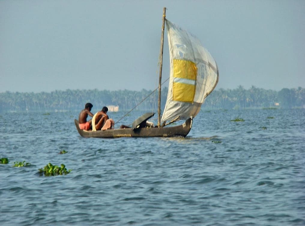
For one of Kerala’s most important commuter and trade corridors, that matters economically. Better road connectivity lowers transport friction, which can help fishermen move fresh catch faster to market, allow households and businesses to save time and fuel, and make short trips to nearby beaches and coastal towns more practical. In a state where road bottlenecks can turn a routine journey into a slow detour, even one new bridge can change the daily math for workers, families and small merchants.
The new bridge also has a political edge. The old dependence on jankar ferries and bund routes has long been a symbol of delay and inconvenience, particularly for local leaders and residents pushing for better infrastructure. A direct crossing through the Vembanad backwaters is the kind of project that can ease pressure on existing routes, including the Thanneermukkom side, and improve access across the coastal and midland belt.
For investors, the significance is less about a single structure than about the broader compounding effect of infrastructure. When travel becomes faster, local commerce usually becomes more efficient. That can lift demand for roadside services, fisheries distribution, tourism-linked businesses and land values in connected areas over time. Infrastructure projects like this rarely change an economy overnight, but they can steadily unlock activity that was previously held back by distance and delay.
The bridge’s opening arrives after a long wait, which is typical of public works in densely settled, water-bound regions like central Kerala. But once completed, the payoff tends to be durable: lower logistics costs, better mobility and stronger integration between towns that were functionally farther apart than the map suggested. For residents, that means convenience. For the local economy, it means a new artery through a region that depends on movement.
The key question now is whether improved access will be matched by better supporting roads, traffic management and local development around the corridor. If that happens, the Mackekadavu–Nerekadavu bridge may prove to be more than a shortcut. It could become a small but meaningful engine of long-term regional growth and a worthwhile reminder that infrastructure remains one of the most reliable ways to create economic value.
| Entity | Gains | Losses |
|---|---|---|
| Local residents and commuters | ▲Faster travel | ▼Time lost in ferry delays |
| Fishermen and small traders | ▲Quicker market access | ▼Higher spoilage risk |
| Tourism and beach-linked businesses | ▲Easier visitor flow | ▼Isolation from poor connectivity |
| Ferry operators and bottleneck routes | ▲Less pressure on roads | ▼Reduced dependence and traffic volume |