The United Nations has backed a new world map projection that makes Africa appear in its true scale, a symbolic move with real geopolitical and economic implications as the continent pushes for greater influence in trade, diplomacy and development finance.
UN backs Equal Earth map projection for Africa
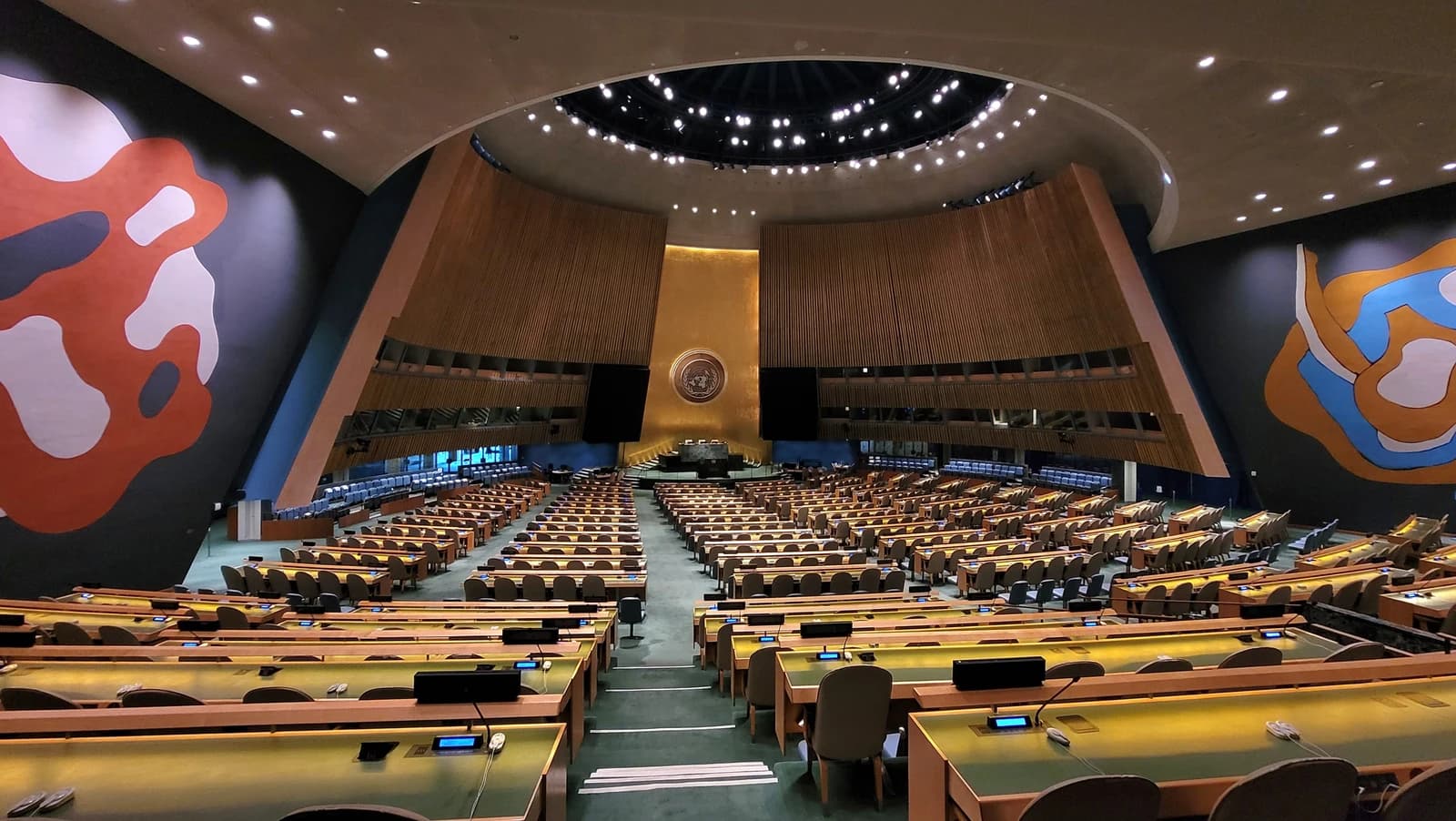
A UN General Assembly resolution, initiated by several African countries, was approved by 164 votes in favor, with the United States opposing and six countries abstaining. The vote endorses the Equal Earth projection as a more accurate representation of landmass size than the centuries-old Mercator map, which has long exaggerated higher-latitude regions such as Europe and North America while shrinking Africa and South America.
That matters because maps do more than guide geography lessons. They shape how policymakers, investors and the public perceive relative power, market size and strategic importance. For Africa, whose 54 countries are increasingly central to debates on supply chains, critical minerals, population growth and regional trade integration, visual distortion has helped reinforce an outdated hierarchy in which the continent appears smaller than its economic and political footprint warrants.
The scale gap is stark. Africa spans about 30.3 million square kilometers, large enough to contain the United States, China, India and much of Europe combined, yet on a Mercator map it can appear roughly comparable to Greenland, which is about 14 times smaller. By contrast, Europe covers about 10.2 million square kilometers. Latin America, Oceania and South Asia together add up to about 34 million square kilometers, underscoring how much of the world’s population and growth potential sits in regions that are often visually minimized on classroom and conference-room maps.
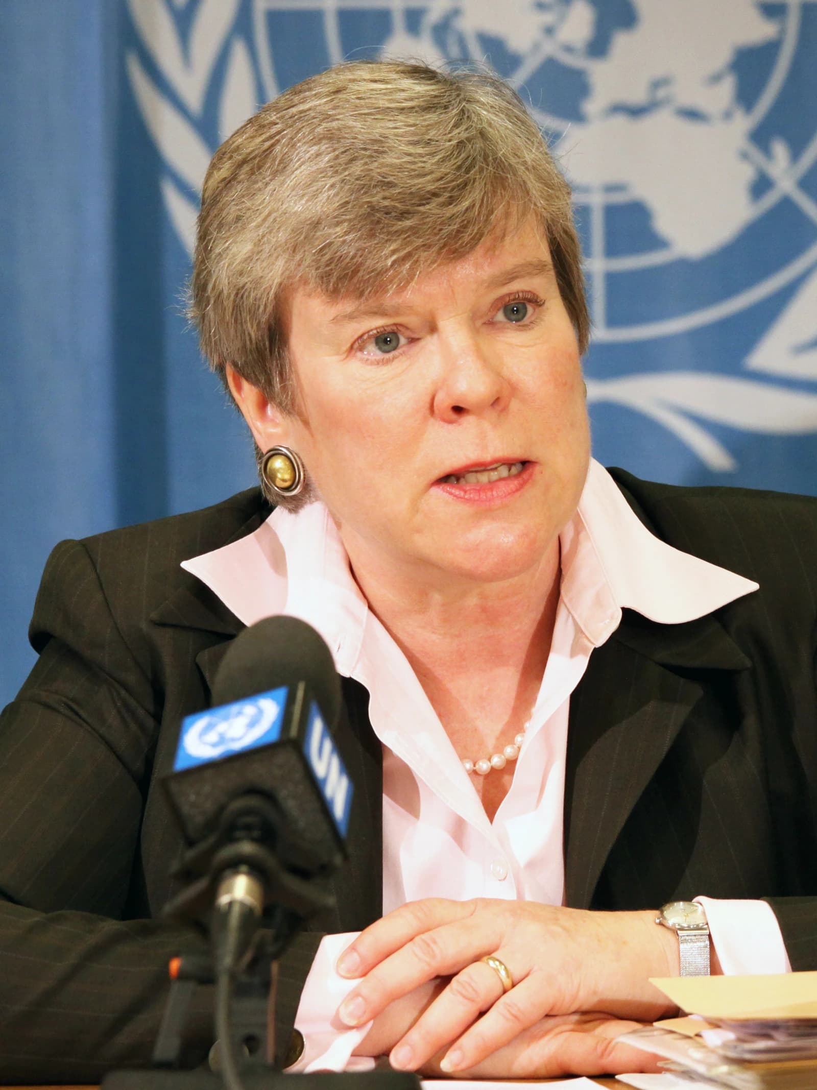
African governments have framed the vote as part of a broader push to correct narratives that understate the continent’s significance. Togo’s foreign minister Robert Dussey, who sponsored the resolution, said maps shape education and collective perception. France, a co-sponsor, said it would stop using the Mercator projection, with Foreign Minister Jean-Noel Barrot arguing that the standard map gives the US, Russia and China disproportionate visual prominence relative to Africa, Latin America and Southeast Asia.
For investors, the significance is less about cartography than about positioning. Africa is home to the world’s fastest population growth, an expanding consumer base and a rising share of demand for energy, infrastructure and digital services. A continent that is larger than the public imagination suggests is also one whose logistics costs, sovereign financing needs and cross-border trade potential are easy to underestimate. The map debate dovetails with efforts by African and Asian economies to deepen regional integration, including work on a continental free trade area, which could gradually reshape intra-African commerce.
The United States’ opposition highlighted the political sensitivity of the issue. Washington argued the UN should be focused on more urgent problems, not a 16th-century map projection. But that criticism also reflects a broader reluctance to cede narrative ground at a time when Africa is seeking greater voice in global institutions. The resolution is nonbinding, but if UN agencies, schools and development institutions shift their default maps, the effects could ripple through education, diplomacy and even how markets frame long-term exposure to the continent.
The practical impact will be gradual. Mercator is unlikely to disappear from navigation or commercial use, and the UN did not mandate a replacement. Still, the vote is a reminder that perception itself can influence capital allocation, policy priorities and strategic attention. For Africa, the campaign is about more than correcting a map. It is about asserting scale — and demanding that the world treat the continent accordingly.
| Entity | Gains | Losses |
|---|---|---|
| Africa | ▲Greater visual stature | ▼Old perception bias |
| UN and supporters | ▲Credibility on representation | ▼Status quo cartography |
| US | ▲None materially | ▼Influence in narrative battle |
| Investors in Africa | ▲Better recognition of scale | ▼Complacent assumptions |